Introducing Data Export Functionality for your Flight Data
Flight Map Data Export and Download
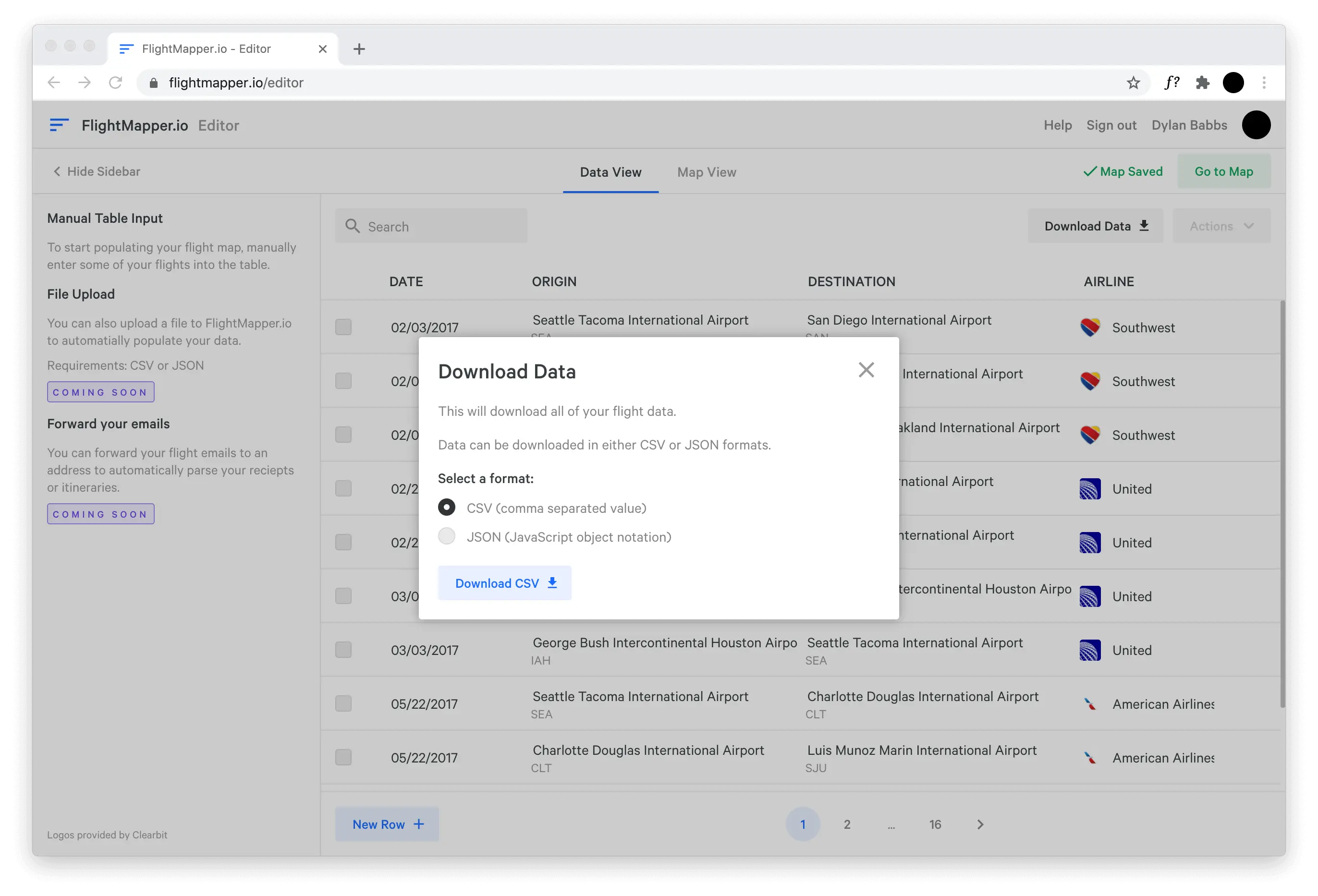
Today, we're excited to launch a highly requested feature for our users: data export and download!

FlightMapper.io has always been the go-to place to upload and store flight data, but today we are making it easier to work with your data in other tools. Once you have your flight data uploaded and enriched on the platform, you now have the option to download your data as a static map file.
You'll be able to take your flight data and use it in other 3rd party tools like Tableau, PowerBI, or Excel.
Initially, two types of data formats will be supported: CSV (comma separated value) and JSON (JavaScript object notation), but expect a few different formats in the future to become available.
Flight Map Data Fields
When downloading your data, the following fields will be provided:
date: date of the tripairline: airline of the tripdestination_code: 3 digit IATA code of the destination airportdestination_latitude: latitude of the destination airportdestination_longitude: longitude of the destination airportdestination_name: name of destination airportorigin_code: 3 digit IATA code of the origin airportorigin_latitude: latitude of the origin airportorigin_longitude: longitude of the origin airportdistance: distance between origin and destination airport (uses haversine formula)distance_units: units ofdistancefield. Either miles or km.
We hope you enjoy this new feature and like always, please reach out to us at help@flightmapper.io with any questions or issues or join our community.